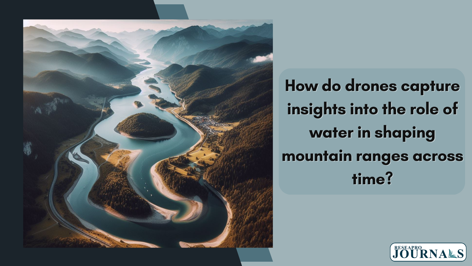
Drones provide new perspectives on the impact of water on sculpting mountain ranges. By surveying terrain, drones collect data on erosion patterns, river pathways, and sediment movement. This aerial view aids in understanding how water, through erosion and deposition, influences the topography of mountains over extended periods. The collected data offers insights into the dynamic interplay between water and landforms, unraveling the evolving landscape-shaping processes over time.
Related Posts
Soybean Flowering: Genes and Markers for Temperature Response
This soybean study uncovered 101 Quantitative Trait Nucleotides (QTNs) associated with flowering responses to photo-thermal conditions. Three candidate genes—Glyma.08G302500 (GmHY5), Glyma.08G303900 (GmPIF4c), and Glyma.16G046700 (GmVRN1)—exhibited non-synonymous substitutions. Using a diverse panel of 201 cultivars, a genome-wide association study assessed thermal response (TR) and interactive photo-thermal response (IPT) for soybean flowering time. The study identified SNPs […]
Unlocking life’s origins: Ancient hot springs as Earth’s incubators.
Studies suggest that ancient hot springs could hold clues to the origins of life. By analyzing these environments, researchers can identify unique geochemical and biological signatures. The chemical richness of hot springs and mineral interactions might have provided a conducive setting for the emergence of early life forms. These springs could have harbored prebiotic molecules […]
Revolutionary plan: drilling into volcanoes for limitless, sustainable geothermal energy.
Scientists propose a radical plan to tap into the Earth’s geothermal energy by drilling into a volcano. This approach aims to harness the intense heat beneath the Earth’s crust, potentially providing near-unlimited and sustainable energy. The process involves accessing the magma reservoirs to extract heat, which can be converted into electricity. While challenging, this innovative […]